


 NEXT
NEXT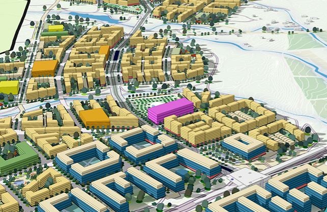
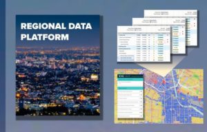
Visualizing Higher Density in Your Neighborhood, with ArcGIS Urban
Brooks Patrick + Christine Ma
Urban Planning and Smart City Solutions, ESRI
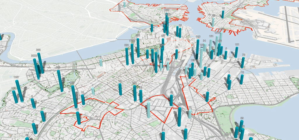
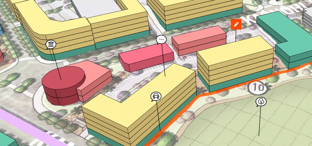
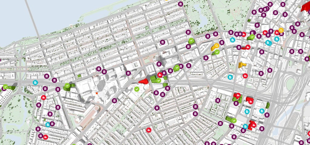
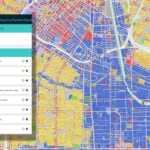
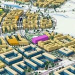
ArcGIS Urban enables planners and design professionals to collaborate across teams with a web-based 3D application that supports scenario planning and impact assessment. ArcGIS Urban enables the digital transformation of city and regional planning to encourage collaboration with community stakeholders and help all groups work toward a more sustainable future.
Related Leading Solution: